How Times Have Changed
Technology in the Workplace
By: E. Gaye Hager
In the early 1990s, Stagg Engineering Services, Inc. (the predecessor in name to Stagg Resource Consultants, Inc.) was retained by Western Pocahontas Properties (“WPP”) to conduct a Phase I Environmental Site Assessment (“Phase I ESA”) on more the 310,000 acres of surface and 4,500,000 acres of mineral rights in Illinois, North Dakota, Montana, Washington, and Wyoming as part of WPP’s due diligence in the acquisition of these properties from Meridian Land and Mineral Company (“Meridian”).
Some 20 years later, Stagg Resource Consultants, Inc. (“SRCI”) was contacted by Natural Resource Partners LP (“NRP”), the publicly traded company affiliated with WPP, to conduct a Phase I ESA on more than 12 million acres of surface and mineral estate in more than 30 states as part of NRPs due diligence in the aquisition of the property from International Paper Company.
Changes in technology happen quickly today and not only is it difficult to keep up with these changes, it is often difficult to remember just how much things have changed. But, looking back, I sure wish we would have had access to today’s technology when conducting the WPP ESA in the early 1990s.
The first step in conducting a Phase I ESA includes determining the location and boundaries of the subject property, then obtaining federal and state government records that report various types of environmental incidents, related to air, water, and/or land. The object of this task is to determine if any environmental incident had occurred on the subject property that might have the apparent potential to create an environmental liability to the purchaser.
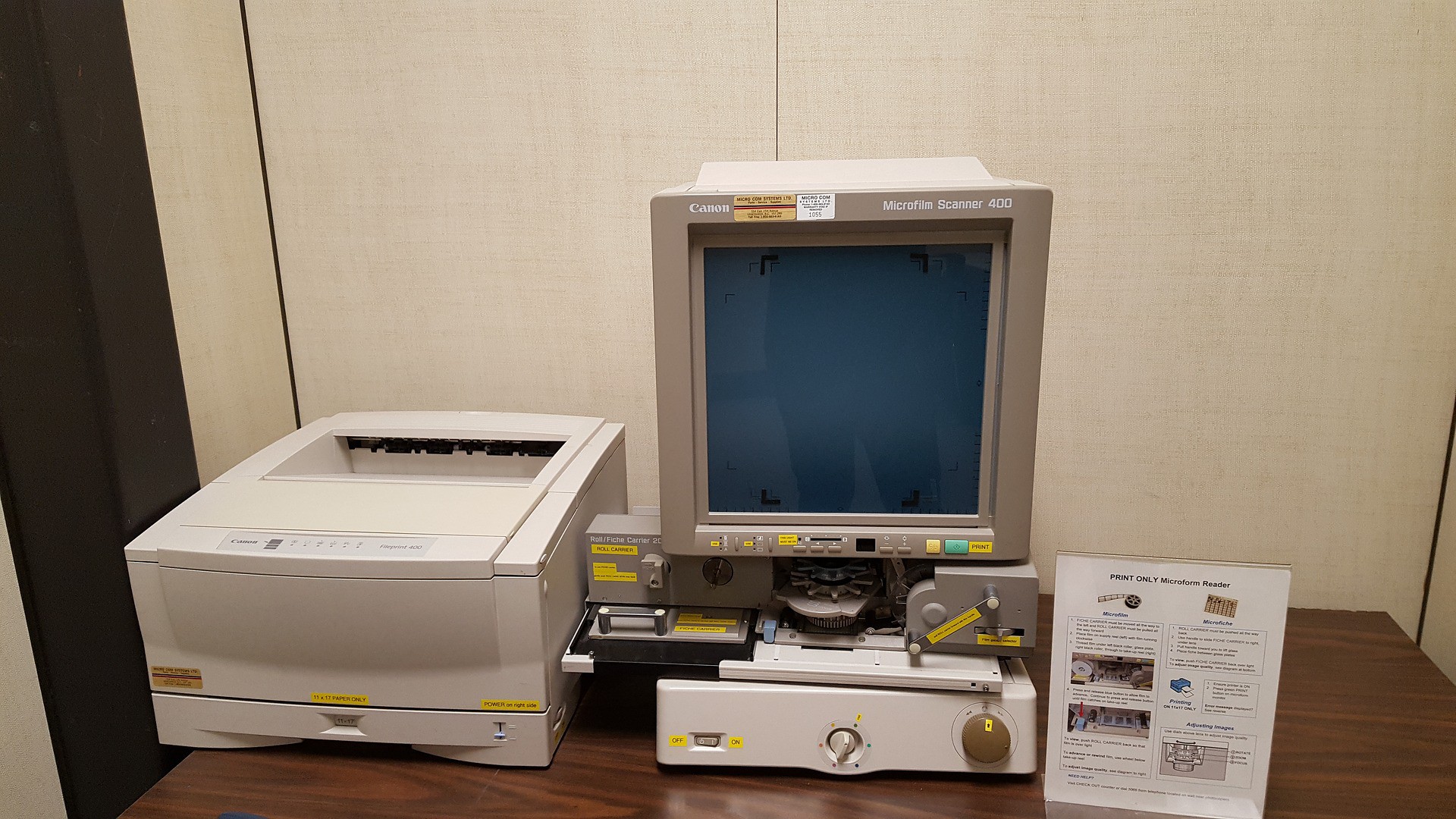
In the 1990s study, the property descriptions were provided to us by Meridian on microfiche. (Microfiche is defined by obsoletemedia.org as a type of microform consisting of a piece of transparent film storing printed information in a miniaturized form and read by a special microfiche reader that magnifies the image.) We retained a company to transfer the information for us from microfiche to a paper format so that we could use that information to prepare maps showing the location of the property. We then located the property, based on those descriptions, on paper maps known as Army Map Service maps published by the U.S. government, and duplicated those maps for use throughout the project by record reviewers and field personnel.
The next step was to obtain federal and state records, which weren’t available on the Internet (yet). A Freedom of Information Act (“FOIA”) letter was written to each federal and state agency to obtain the records required for conducting the ESA. Once the agency received our request, they were required by law to respond to the letter in a specified time. This response usually provided an estimated timeframe and cost for the agency to provide the data to us. When the request finally came through, we were overwhelmed with data printed on computer green-bar paper. Once the data were received, we proceeded to locate the sites identified in the federal and state records to determine if any were located on the subject property.
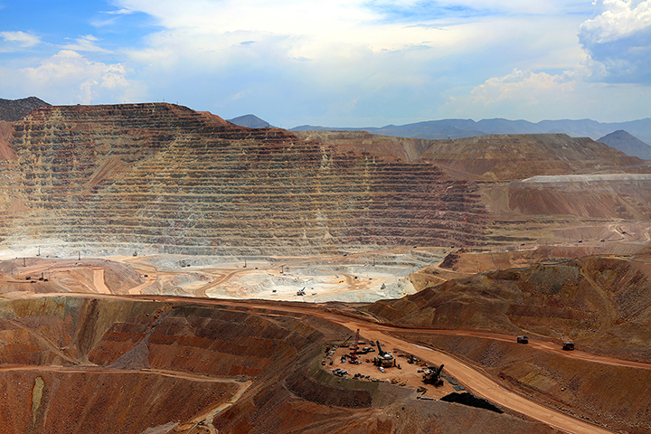
The types of sites that were identified in the federal and state records included service stations, dry-cleaners, factories, lumber yards, and solid and hazardous waste landfills, among many other types of facilities. These sites were contained in these records for one of two reasons. Either they used some type of regulated material in their facility that had the ability to create a hazardous condition or they had experienced some type of discharge of a hazardous material that created reason for further investigation by a federal or state agency.
I don’t recall offhand how long this process took, months I’m sure, but it seemed like a lifetime for several of us in the office.
Fast forward 20 years! The Internet, GIS, GoogleEarth.
Within hours of the request being made, International Paper’s GIS department was able to provide us with electronic files showing the location of the subject properties that could be imported into GIS software, AutoCAD, or GoogleEarth. Shazam! We had property locations. Next step. Get on the Internet, access records for various federal and state agencies, and download, if possible, or make a request online. In some instances, agencies are able to provide electronic files compatible with GIS, AutoCAD, or GoogleEarth. In other instances, spreadsheets with latitude/longitude information could be imported into these programs.
I can’t calculate an exact amount of time that has been saved in conducting the record reviews for a Phase I ESA today compared to 20 years ago, but I’d venture a guess as to what may have taken months to do 20 years ago can be done in hours or days today.
Other areas of our practice that have benefitted tremendously from advancements in technology include the preparation of operating cost models, discounted cash flow models, and reserve estimates, map preparation, and many more. I’ve worked at SRCI since September 1981 and have seen many changes take place. I’m grateful that I’ve been a part of it and I’m looking forward with anticipation to the changes that I know will continue to occur.